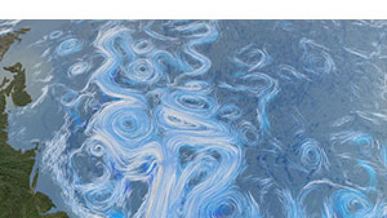
The El Niño phenomenon is famous for producing months-long weird weather, but it also has a lesser known relative on the other side of the world. The Atlantic Niño, a pattern very similar to the cycles that create El Niño in the Pacific, dominates a wide swath of the Atlantic, but unlike its Pacific cousin, the Atlantic Niño is nearly impossible to predict. Now, a new paper from a team led by ICTP Junior Associate Hyacinth Nnamchi turns everything known about the Atlantic Niño on its head, raising hopes for better predictions.
The paper, titled Thermodynamic controls of the Atlantic Niño (DOI: 10.1038/NCOMMS9895), appears in the 26 November edition of Nature Communications.
The broad disruption in weather patterns known as El Niño occurs when a massive band of warm water forms off the coast of South America, extending to the west far into the Pacific. The warmth of the water changes air pressures across the Pacific, which in turn alters temperatures, rainfall, and cyclone frequency in countries bordering the Pacific. The slow development of this stretch of warm water lets meteorologists and climate scientists predict the arrival of El Niño six to nine months ahead of time, allowing some regions to brace for the likely floods, while others prepare for the drought that an El Niño year normally brings them.
The Atlantic Niño follows a closely similar pattern, with regions of warmer-than-normal water in the Atlantic linked to weather disruption in surrounding countries, especially countries in the northern part of South America and African countries on the Gulf of Guinea. While its pattern is smaller, the Atlantic Niño has one other major difference: "It is almost completely unpredictable, but the one in the Pacific is much easier to predict," explains Nnamchi, the lead author on the paper and a lecturer at the University of Nigeria.
If the patterns are so similar, why is one predictable and the other not? Much researcher energy has been devoted to using climate models to find out. "Oftentimes a lot of effort is focused on the ocean model, resolving the details of what is happening in the ocean. The thinking is if you make the models more precise, [by increasing the number of observation points feeding data into the model], that that maybe will improve these errors in predictions," says Nnamchi.
The unpredictability of the Atlantic Niño inspired Nnamchi and his collaborators to test how much influence the movement of warm and cold ocean water actually had on creating the Atlantic Niño. The team, which also includes ICTP scientists Fred Kucharski and Riccardo Farneti, analyzed two sets of experiments using computer climate simulations. One set was similar to what other researchers were using, trying to incorporate every observed detail of air and water movement in a quest for better predictions of what was going to happen next. The second set reduced the complexity by modeling the ocean simply as a slab of water 50 meters thick. The ocean in this model could absorb heat, emit heat, and evaporate into the atmosphere, but the large-scale movement of water was ignored. If the movement of warm and cold water around the ocean is the cause of the Atlantic Niño, wouldn't cutting these factors out of the model make impossible for the Atlantic Niño to develop in this simplified model?
The results of their calculations don't follow this pattern; instead, they show the opposite: the movement of ocean water has very little to do with the Atlantic Niño. It's heat exchanges between the atmosphere and the ocean that seem to drive the Niño, instead of heat moving around the ocean itself. This points to a drastically different mechanism powering the Atlantic Niño compared to El Niño in the Pacific.
Nnamchi illustrates how much this mistaken cause has affected predictions for the surrounding regions. "If you take rainfall in this region, and then you take the temperature of the ocean, you find out that actually the rainfall happens before the temperature in the ocean changes. But the temperature change was being used to predict the rainfall."
The next step for the group is to confirm the results of the modeling experiments through actual observations, and then tackle the changes to predictions that need to be made for regions affected by the Atlantic Niño. "Our results are bringing a completely new perspective, because [they show] you can already get much of the actual variability from the atmosphere alone," says Nnamchi. He adds, "The next challenge is for us to come up with a new way to think about prediction for the region, because we've seen that we've been working on the wrong assumption. It's a complete reversal."
--Kelsey Calhoun


