In 2015, Nepal was struck by the devastating magnitude 7.8 Gorkha earthquake that nucleated beneath Mount Everest on a fault called the Main Himalayan Thrust (MHT), leaving a lasting impact on the region. The earthquake rupture propagated on a segment of MHT beneath the lesser Himalaya and went both to the east and to the south, stopping in the vicinity of the capital city of Kathmandu at a depth of 10 km. In 1934, a larger earthquake with magnitude 8.4 took place on a segment adjacent to the 2015 earthquake, but this time involving a larger rupture along the MHT that went southward far beyond Kathmandu, and most probably reached the surface close to the India-Nepal border. Understanding why two adjacent segments of MHT generated two different earthquake magnitudes and what can be the maximum expected magnitude along MHT is of paramount scientific importance and is also crucial for preparedness and risk mitigation from future large earthquakes for the whole Himalaya.
A new paper entitled “The Main Himalayan Thrust Beneath Nepal and Southern Tibet Illuminated by Seismic Ambient Noise and Teleseismic P Wave Coda Autocorrelation”, recently published in the Journal of Geophysical Research, provided unprecedented detail on the geometry of the MHT involved in both the 2015 and 1934 earthquake sequences, shedding light on the mechanics of MHT and its seismogenic potential. This is part of the PhD work of Hari Ram Thapa, a former ICTP Diploma student and a current postdoctoral fellow in ICTP's Earth System Physics (ESP) section.
Thapa and his colleagues achieved a detailed 3-D shear wave structure of the Earth's crust using a technique called ambient noise tomography (ANT). They utilized a network of seismic stations deployed across Nepal immediately after the 2015 Gorkha earthquake, in close collaboration with the University of Cambridge. The distribution of these stations provides unprecedented dense ray coverage to make the ANT method a robust technique for studying crustal structure beneath the Nepal Himalaya. The shear wave velocity variation across MHT computed by them helps us understand why the rupture velocity of the 2015 Gorkha earthquake slowed down near Kathmandu, why it didn't continue spreading to the west, and why it stopped in the east. This answers a long-standing question concerning the 2015 Gorkha earthquake's rupture propagation direction and its termination.
Thapa and colleagues used another complementary methodology called teleseismic P-wave coda autocorrelation and achieved an unprecedented understanding of the MHT's geometry. The team observed flat, low seismic wave velocity zones adjacent to the MHT beneath Higher Himalaya at a depth of 15-20km, separated by two distinct ramps. These ramps correspond to faults that exhibit an angle of inclination towards Tibet. The first ramp, located beneath the Lesser Himalaya, is where the 2015 Gorkha earthquake nucleated, and they have mapped it to the source model of the 1934 historical earthquake in Eastern Nepal. The second ramp, positioned to the north, connects another mid-crustal low seismic velocity zone beneath south Tibet. Prior to this study, everyone's attention was on the locked section of the Main Himalayan Thrust (MHT), and no one had really considered the extent of the horizontal low-velocity size where the MHT steadily creeps. They pinpointed variations in the size of the horizontal low-velocity zone (LVZ) beneath the Higher Himalaya. Thapa and colleagues realized that the LVZ has a width of 50-70 km where it is associated with the 2015 Gorkha earthquake in Central Nepal and 90-100 km width where it is associated with the 1934 magnitude 8.4 earthquake in Eastern Nepal. Their interpretation is: the wider the LVZ along the Main Himalayan Thrust (MHT), the bigger the magnitude of earthquake in the Himalayas, of course with a longer recurrence time. They emphasize that if we can map this LVZ throughout the entire Himalayan region, and compare this with both geological and space geodetic datasets, we can grasp the physics of the maximum earthquake magnitude that could occur in the Himalaya in the future.
ICTP's Important Role in Developing Seismology in Nepal
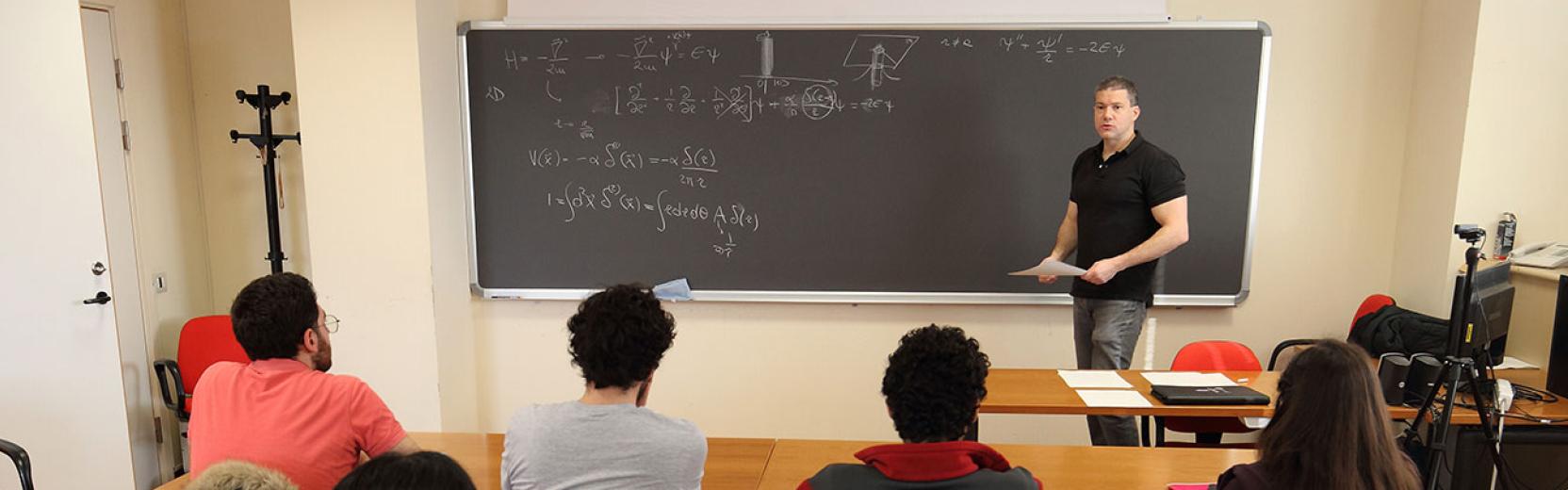
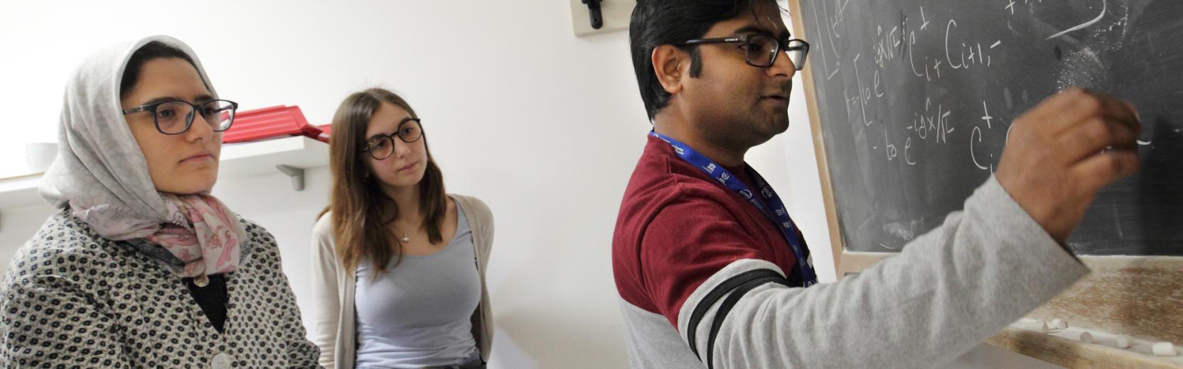
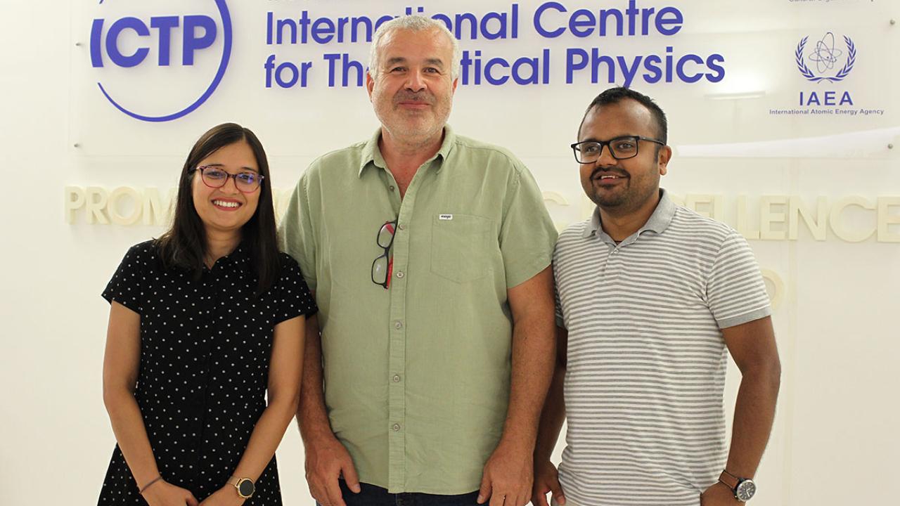
Hari Ram Thapa is a solid-Earth geophysicist, hailing from Nepal. He studied physics at the Tribhuvan University, Nepal, and, “On April 25, 2015,” recalls Thapa, “I was in the university to get the topic for my master's thesis from my supervisor, Professor Narayan Prasad Adhikari, a former student of the ICTP Diploma Programme. But on that very day, the 7.8 magnitude earthquake struck.” That day marked a turning point in his life. “After that event, people were terrified, and unfortunately, there were many misconceptions circulating. Moreover, in Nepal, there were plenty of geologists but no seismologists. All of this led me to change my topic after completing my master's thesis. I asked my supervisor if I could join geophysics, and he told me about the ICTP Postgraduate Diploma Programme.” Thapa was admitted to this program and, after completing it, continued his studies at ICTP for a PhD. His supervisor was Abdelkrim Aoudia, and the co-supervisor was ICTP postdoctoral fellow Surya Pachhai. Pachhai, currently an assistant professor at the University of Utah in the United States, is also a former student of the ICTP Diploma Programme. “Surya Pachhai is the first waveform seismologist from Nepal that got started at ICTP,” says Aoudia, “and now we have a very long connection with Nepal since 2008, when I took Surya Pachhai as a Diploma student.”
But the story doesn't end here. There is another alumna of the Diploma Programme, Apsara Sharma Dhakal, also from Nepal, who has just finished her PhD in seismology. “Before the 2015 earthquake, I knew nothing about plate tectonics. But that event changed the direction of my studies and consequently, my life,” says Apsara. Now, after completing her PhD at the University of Padova, she returned to ICTP in September for a postdoc, where she will continue to develop a method to understand how earthquake rupturing is going and how to quickly retrieve the information using international datasets.
These stories testify how the 2015 Gorkha earthquake inspired and motivated young scientists like Hari Ram Thapa and Apsara Sharma Dhakal to dedicate themselves to seismology and make significant contributions to seismology in Nepal and other regions. ICTP has played a crucial role in enriching their academic journey and promoting a connection with Nepal.