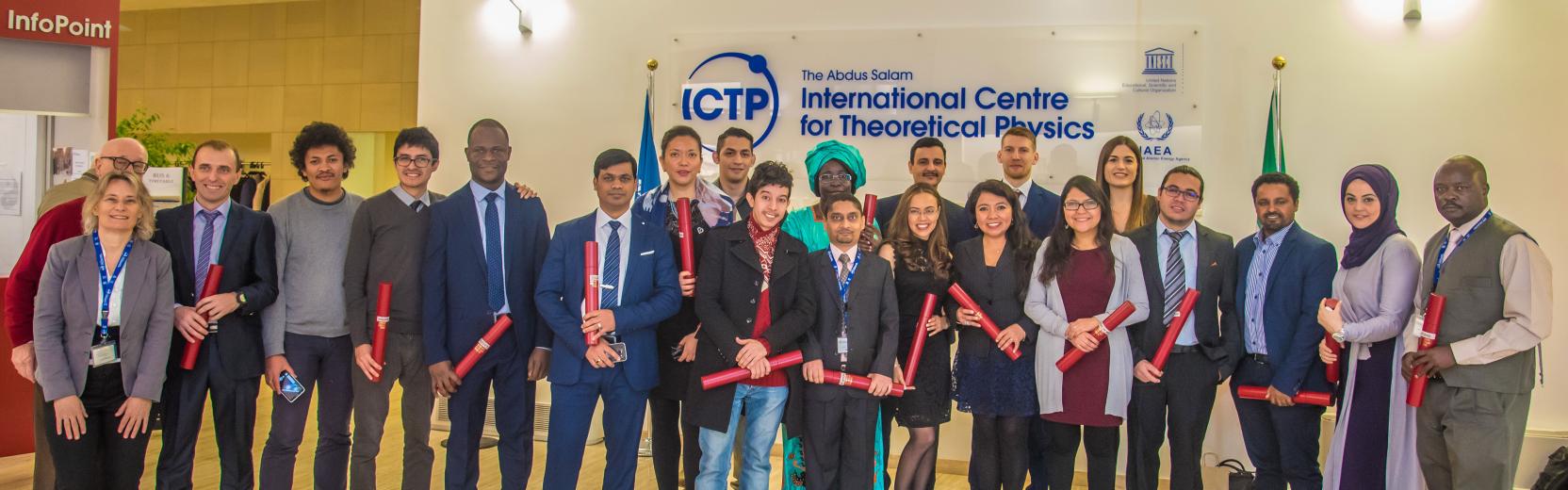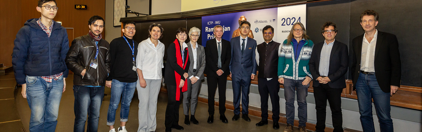

scientific activity
21
Jul
2026
23
Jul
2026
TWAS AAAS Workshop | (smr H723)
Physical
Back
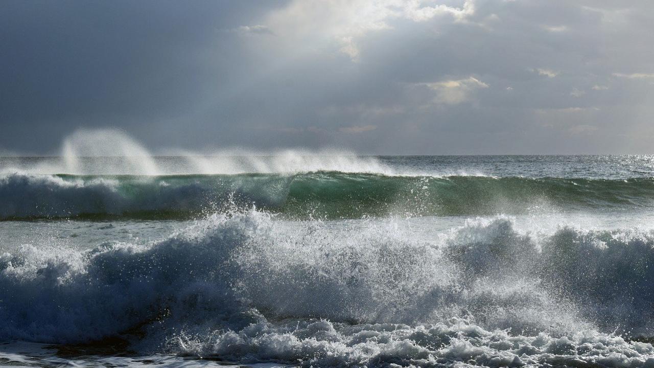
Scientists across the world have predicted a strong El Niño event in 2023. El Niño ('the Boy' in Spanish) is the warm phase of the El Niño–Southern Oscillation (ENSO; the cycle of warm and cold sea surface temperatures in the tropical central and eastern Pacific Ocean).
The El Niño phase is characterised by a band of warm ocean water that develops in the central and east-central equatorial Pacific (including the zone around the Pacific coast of South America). The contrasting ENSO phase, La Niña (‘the Girl’ in Spanish), involves colder-than-normal eastern Pacific sea surface temperatures.
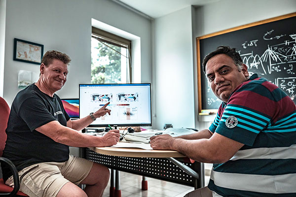
But how long have El Niño events been going on, and how were they measured in the past? ICTP climate scientists Fred Kucharski and Adnan Abid of the Centre's Earth System Physics section, discuss the history of El Niño observations.
What are the causes of El Niño?
Fred Kucharski: Consider the mean climatic state in the Pacific region, which is unusual in the sense that waters in the eastern equatorial Pacific are actually quite cold compared to the western Equatorial Pacific (24 versus nearly 30 ºC). This is due to a strong upwelling of cold subsurface water in the eastern equatorial Pacific that is partially induced by the continuously blowing trade winds that push water away from the Central and South American coast. This water is then replaced by colder water from below.
There’s also a positive feedback mechanism at work on the equator between upwelling colder subsurface water in the eastern equatorial Pacific and the strength of easterly trade winds: the stronger the upwelling, the colder the water in the eastern Pacific, and the higher the pressure there, which further strengthens the trade winds. These then strengthen the upwelling. This is known as the Bjerknes feedback mechanism. El Niño is a break-down of this mean state, and an initial small perturbation in sea surface temperatures can grow because of the same Bjerknes mechanism. If the water in the eastern Pacific is slightly warmer than usual, this can result in lower pressure there that weakens the trade winds, leading to weakened upwelling and intensified warming.
How accurate is the data?
FK: We can have the most confidence in the last 40 years of data, since we have satellites to measure everything, and all the necessary global data coverage. Before that, there were already measurement stations all over the equatorial Pacific to measure sea surface temperatures and understand El Niño better.
Adnan Abid: These were part of the Tropical Ocean – Global Atmosphere (TOGA) measurement program.
FK: From the 1980s, satellite information and surface data came together. It was still important to have the surface data, because using the satellite data alone without being able to perform statistical corrections with measurements would not be ideal. Satellite data was combined with surface data to form a clearer idea of the real situation.
AA: Now, there are also Argos floats (robotic measurement devices able to float at different depths and collect information), which go into the deep ocean and bring back sea temperature, pressure and salinity data. These add to the robustness of the dataset. So, things are improving in this regard; reliability is improving and more is required.
How are deep ocean measurements taken?
AA: In the case of the Argos float program, the instruments are placed in the ocean and sent into the deep ocean. The data is then collected when they surface. These deep-sea measurements have been conducted for the last 20 years.
FK: These measurements are absolutely crucial, as without this data it can be difficult to learn anything. And having a good dataset in recent years also allows you to track back in time using statistical techniques.
How far back does meteorology go?
FK: An interest in meteorological measurements goes way back: for example, to investigate the Indian monsoons in the 1920s. Tracking further back, in the 19th century there was a tendency to measure whatever could be measured. The approach wasn’t very systematic in terms of the positions of the measurements; ships reached a position and measured whatever they could measure. There was an interest in collecting data, but these weren’t ships focused on taking the particular measurements we need.
“In the 19th century there was a tendency to measure whatever could be measured.” - Fred Kucharski
If you go further back, before there were any ship measurements, then we have proxy measurements, such as those that look at the decay of an oxygen isotope. These can be used as indicators of conditions in the oceans.
El Niño events have been present over the entire observed record of sea surface temperatures available from the middle of the 19th century onwards, but they also appear in paleo climate reconstructions that go back many thousands of years.
There are probably 1000s of years of data, and further back, we have more bits and pieces of continuous records. If we look at the new drilling work in the Arctic, you can go back hundreds of thousands of years. The correlation there with ENSO is relatively marginal, but still, it can be useful. There are paleo records that essentially indicate that ENSO has always been there.
What is the relationship between climate change and El Niño?
FK: If you look at the dataset that starts around 1900 up to now, there is a clear increase in the magnitude of ENSO. But scientists are very, very cautious about attributing this to anything like climate change. There is an increase in magnitude, but I don't think it’s proven that this increase in magnitude is even physical.
“Scientists are very cautious about attributing this [increases in ENSO magnitude] to anything like climate change.” - Fred Kucharski
This increase could be caused by lack of data in the past. Even if you look from the 1950s onwards, maybe even then there is an increase, a slight tendency towards stronger El Niños as we move further along the time series, and that may be reliable. Let's say that’s reliable. However, to relate it to climate change is another thing, because in that 50 year period, we may only have something in the order of ten El Niño events. There are famous studies using coupled ocean atmosphere climate simulations without any changes in CO2 and greenhouse gas concentration. These simulations ran for 5000 years, and the researchers look at periods in this completely unforced simulation. They found periods where ENSO had a doubled magnitude and others with half magnitude or less, just by chance. So, it would be completely unphysical to try to relate what happened in very few events, which have been, admittedly, so strong, to climate change.
Useful links:
Argos floats: Argo
TOGA program: TOGA COARE | Earth Observing Laboratory